 MarineFIND News
May 2021. FIND launches new MarineFIND Website
FIND is pleased to announce that it has performed a revamp of the marineFIND website. We hope you like it.
November 2020. Raster Charts XL Oceans now available
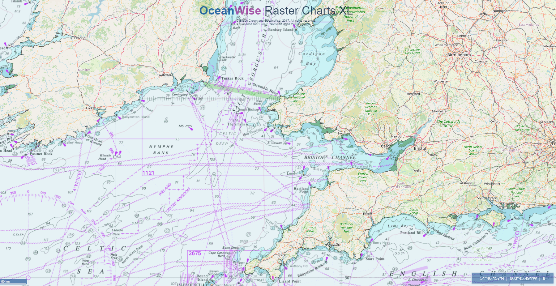
A convenient and cost-effective way to access global Nautical Charts in a desktop and web GIS environment. Available up to a scale of 1:3,500,00 and includes over 150 charts, RCXL Oceans is servered using OGC WMTS standards.
RCXL Oceans is ideal for:
- Base / Background Map.
- Reference Dataset.
- Simple Nautical Chart Backgrond
Contact us to discover more about RCXL Oceans.